Nearest AED Finder
Solo Project - Data Visualization - OCAD University
Tools: Figma, ArcGIS (Online, Web Map, Vector Tile Style Editor), Looker
Reading Time - 2 minutes
Click and Interact with the Prototype Below
Project Goal
To create a geospatial visualization of urban data in Toronto, consisting of a 2D or 3D analysis map and an exploratory visualization.
Project Summary
Using the City of Toronto’s 2023 AED Dataset. I made a role-playing game that simulates the role of a 911 dispatcher, where players navigate through the system to find the nearest automated external defibrillator (AED) and determine whether the caller should retrieve the AED or remain in place. The aim is to make the game fun and engaging while bringing attention to the current lack of accessibility to AEDs in Downtown Toronto and to raise awareness for the need for increased public access to them.
Reflection
On my GIS map, I noticed fewer AEDs were located in the central downtown area compared to the northern parts of Toronto. And it was brought to my attention that this may be due to more privatized AEDs in the area, which are unfortunately not accessible to the public information. Through further research, I discovered that Esri made an AED Locator, which had similar features to my project. What I found intriguing was that they also made an AED reporter, allowing the public to input AED locations, and it’s interesting cause it addresses the issue of the privatized AEDs I found in the Toronto dataset.
Certificate of Achievement
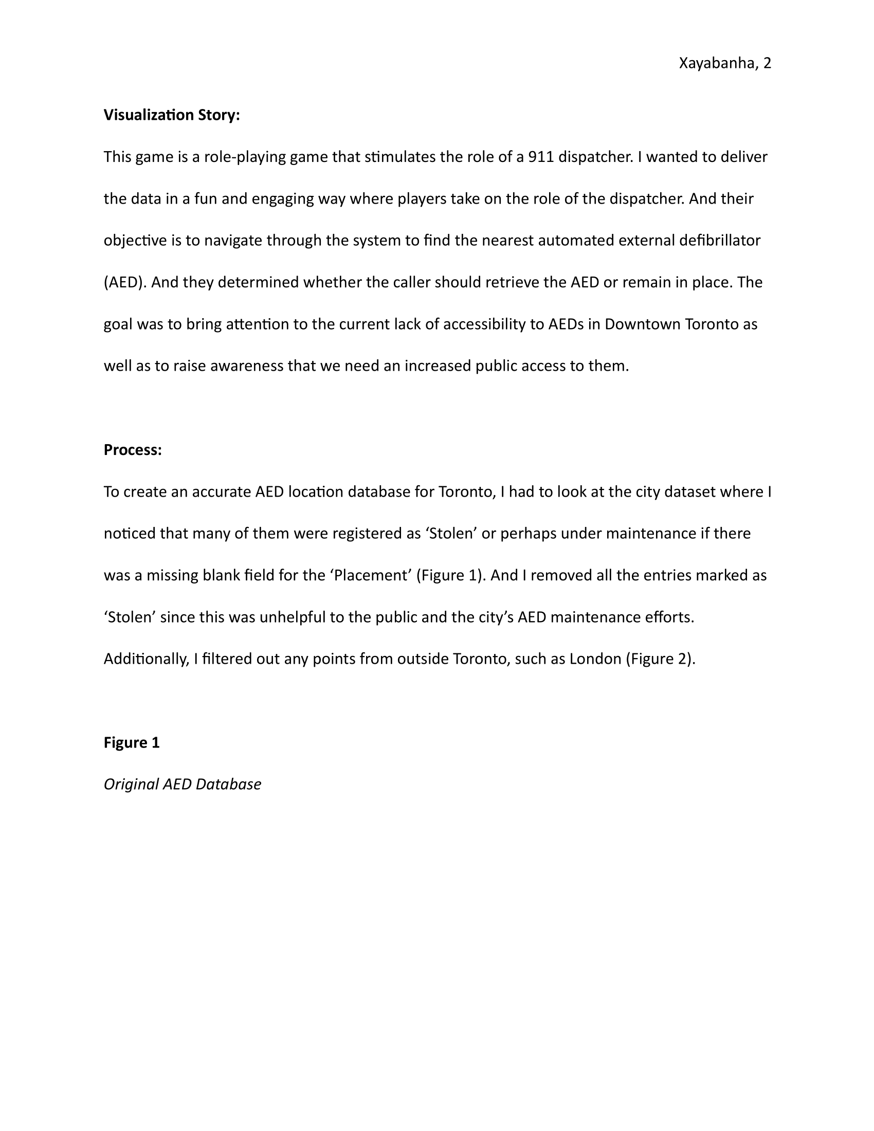
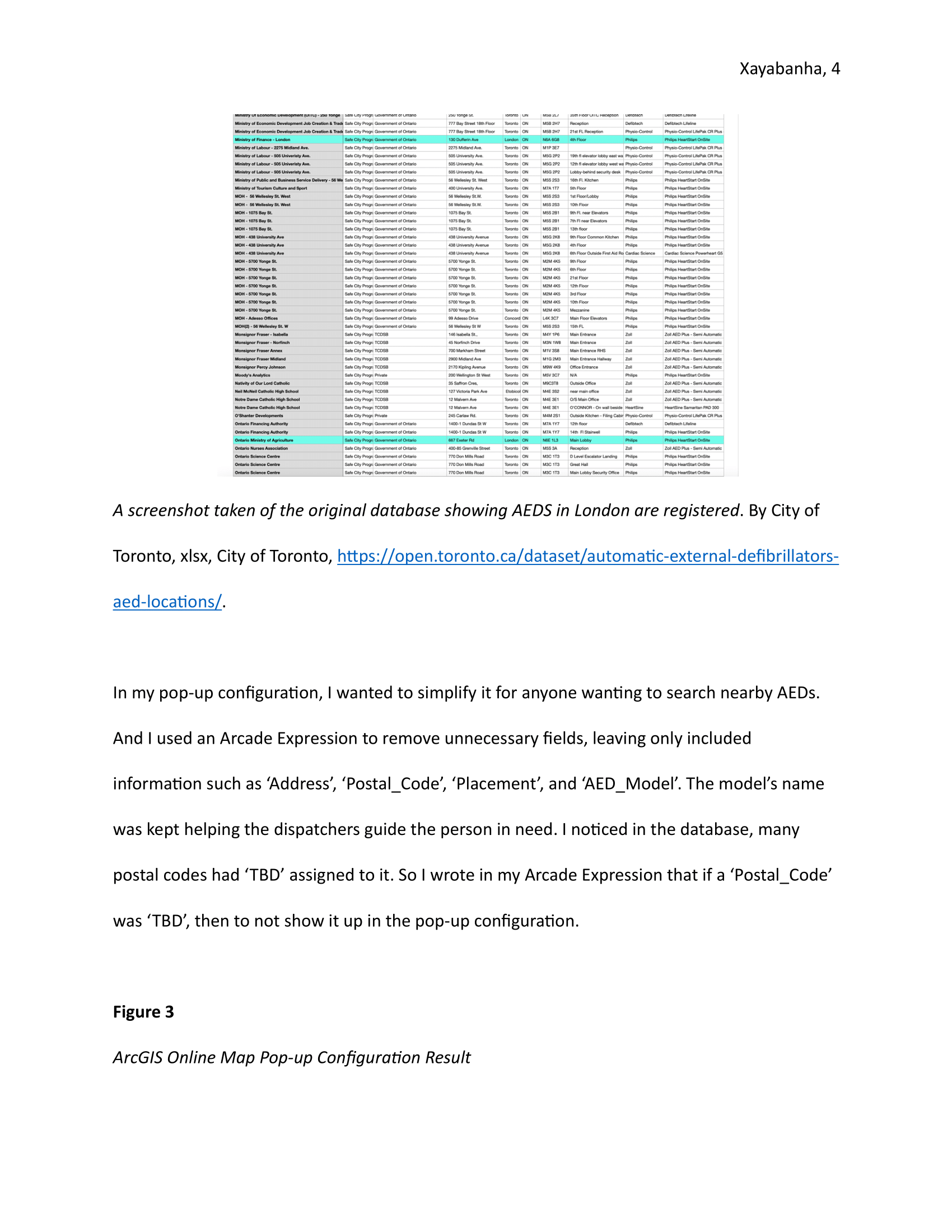
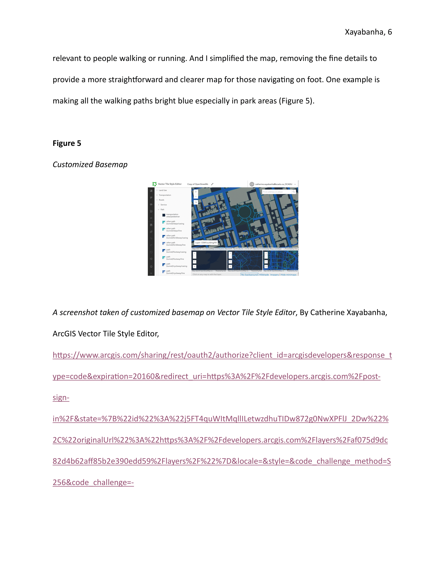
In Depth - Process


